The Best Hiking Spots Around Lake Constance

Lake Constance is pretty much synonymous with excellent hiking trails and you’ll find hundreds of kilometres worth of paths through the forest and mountains that are all exceptionally well-organized with signs. We chose some of the best trails to take on all around the famous lake.
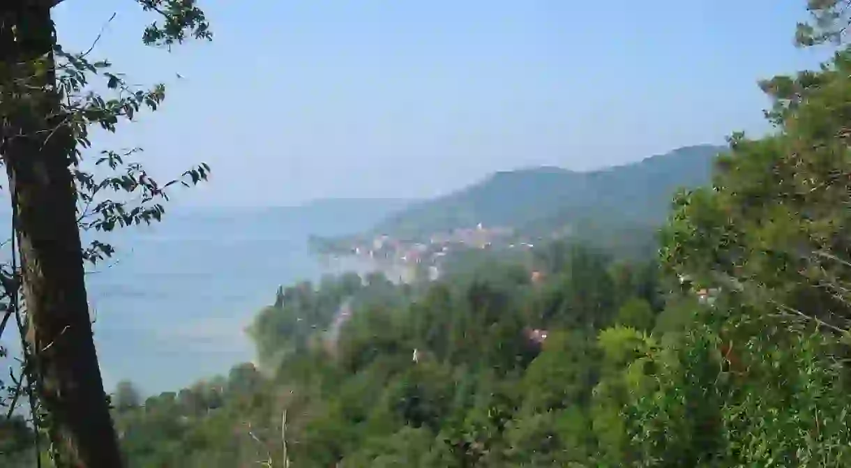
The Lake Constance Hiking Trail
Known as the Bodensee Rundwanderweg in German, the Lake Constance Hiking Trail is one of the most popular and can take about two weeks to complete with 270 kilometres worth of paths that are all close to the shore. Another great aspect of this trail is that it traverses Austria, Switzerland and Germany (the three countries that occupy the areas around Lake Constance). Of course, the trail can also be enjoyed in different stages, just watch out for the trail’s marking, a blue dot surrounded by an arrow and a yellow sun on a blue background. It’s also recommended to purchase the complete hiking map for the Lake Constance region.

The Thurgau Hiking Trail
This 200 km very well-marked hiking trail through Switzerland has 24 different stages that vary from three to 14 km in length, so you can definitely choose how long you want to be on foot. The beauty of this trail is that it leads hikers through different areas of the Canton of Thurgau, including breathtaking natural landscapes, castles, monasteries and, of course, amazing views over Lake Constance. To plan your hiking tour, make sure to order the corresponding map. You’ll be happy to know that all the beginning points of the different stages of the hiking trail can be reached by public transportation.

The See Gang
The See Gang (Lake Course) was established in 2014 and was voted as Baden-Württemberg’s most beautiful hiking trail as well as one of Germany’s best. At around 53 km in length, the trail connects the towns of Überlingen and Konstanz and follows beautiful paths through forests, ruins of historic fortresses, historic towns, small idyllic villages and even the flower island of Mainau. With the possibility of public transportation transfers, the hike can be adjusted to different endurance levels. It’s also very important to note that the famous Marienschlucht has been closed indefinitely due to a landslide but the See Gang path offers an alternative trail that is well-marked and easy to follow.

Hiking trail from Friedrichshafen to Lindau
One of the shorter hiking trails on the list, this 25 km hiking trail connect the towns of Friedrichshafen and Lindau and can be completed in about six to seven hours. After the district capital of Friedrichshafen, the trail goes through the Naturschutzgebiet Eriskircher Ried (Nature Reserve Eriskircher Ried), which is known for its many bird species and its beautiful blue iris fields. Hikers will also come across the historic Montfort Castle, plenty of trails right by Lake Constance and restaurants by the water for a much-needed break. The end of the path is marked by the major town and island of Lindau, from where it is possible to take a boat back to Friedrichshafen.


Read Next

The Coolest Neighborhoods in Cologne To Visit

The 10 Best Museums to Visit in Germany

The Top Things to See and Do in Limburg an der Lahn, Germany

The 11 Most Weird and Wonderful Things to See in Germany

The Top 10 Things to See and Do in Hesse, Germany

The 12 Most Scenic Train Journeys in Germany

The 15 Most Beautiful Spots in Germany's Black Forest

The Top 10 Things To Do And See In The Frankfurt Altstadt

Jokes Only Germans Will Understand

16 German Fairytale Villages You Need to Visit at Least Once

The Best Things to do with Kids in Dusseldorf, Germany

The Top 10 Things to Do in Erlangen, Germany
