25 Captivating Photos of Mt Cook, New Zealand

Aoraki/Mt Cook National Park is an enthralling land of jagged mountains, gigantic glaciers and exquisite, off-grid adventures. Here’s a glimpse of what this captivating force of nature has in store for its visitors.
Hiking is one of the best ways to get up close and personal with this New Zealand national park’s stunning visual features.

Cross the swing bridge over the Hooker River and you’ll be all set to start exploring one of the area’s most popular one-day treks: the Hooker Valley Track.

The track weaves across three swing bridges as it introduces hikers to Mueller Lake, Mount Sefton and, of course the iceberg-speckled Hooker Lake and the rapidly flowing source of the Hooker River.

With 23 mountain peaks soaring more than 3000 metres (9843 feet) up in the skies, the park is very much a mountaineer’s dream.

In fact, Aoraki/Mt Cook – which is New Zealand’s highest mountain – is said to have prepared Sir Edmund Hillary to hone his climbing skills before he conquered Mt Everest.

Despite its ruggedness, Aoraki/Mt Cook National Park is known for being incredibly accessible. It lies in the heart of the Southern Alps, in the central part of the South Island, and has its own commercial airport and village within it.

Approximately 40 different bird species call this national park home. If you spend some time in the highest areas, you’ll stumble across a cheeky kea or two; approach the waterfront and you might just meet a noisy pair of paradise shellducks going about their day.

With alpine ranges sprawling over more than 700 square kilometres (270.3 square miles) of parkland, it’s no wonder that this is a place of never-ending photographic beauty.

The highlight for many is definitely Aoraki/Mt Cook, with its awe-inspiring height of 3,724 metres (12,218 feet).

The mountain’s Maori name, Aoraki, is often translated as ‘cloud piercer’. It originates from the name Aorangi (which is pronounced by the South Island’s Ngai Tahu tribe as Aoraki), a legendary ancestral figure who scrambled to his canoe’s highest point after it was overturned by turbulent Pacific seas.

Legend goes that Aorangi and his brothers turned to stone as the freezing southern wind struck them. The canoe became what we now know as the South Island and the brothers were turned into the Southern Alps.

As for the English name? It came about in 1851 as Captain J. L. Stokes made his way down the South Island’s West Coast region. He decided to name the soaring peak in honor of English navigator Captain James Cook, who had circumnavigated New Zealand in 1770.

It’s fair to say the national park’s enormity will put anyone’s life into perspective.

Gigantic glaciers engulf 40 percent of the parkland. The largest of these is the Tasman Glacier, which stretches across 27 kilometres (16.8 miles) and has a depth of more than 600 metres (just under 1970 feet). Its lake is one of a few in the world that contains icebergs.

As you can see, there’s virtually no forest in the park itself – just rocky terrain that is guaranteed to challenge the most avid of explorers.

Naturally, some of the best vistas emerge from the highest altitudes.

A walk across the Blue Lakes Track is one of the best ways to immerse yourself in the park’s glistening lakes, icebergs and snow-capped valleys.

The aforementioned track is relatively easy, despite having some rocky inclines along the way, and takes approximately 40 minutes to tackle.

If you want to explore further out, the track branches off just past the Blue Lakes Shelter towards the lake’s final view before following on to the Tasman River.

Hiking is not the only way to bask at the park’s beauty, by the way: some people opt to take a glimpse of the landscapes from the skies through guided helicopter tours.

But if you do like getting out and about, there are 10 short walking routes beginning from Aoraki/Mt Cook Village as well as three mountain pass routes for experienced alpine trekkers.

It’s also interesting to note that Aoraki/Mt Cook National Park is considered part of the Te Waipounamu – South Westland World Heritage Area because of its remarkable vegetation.

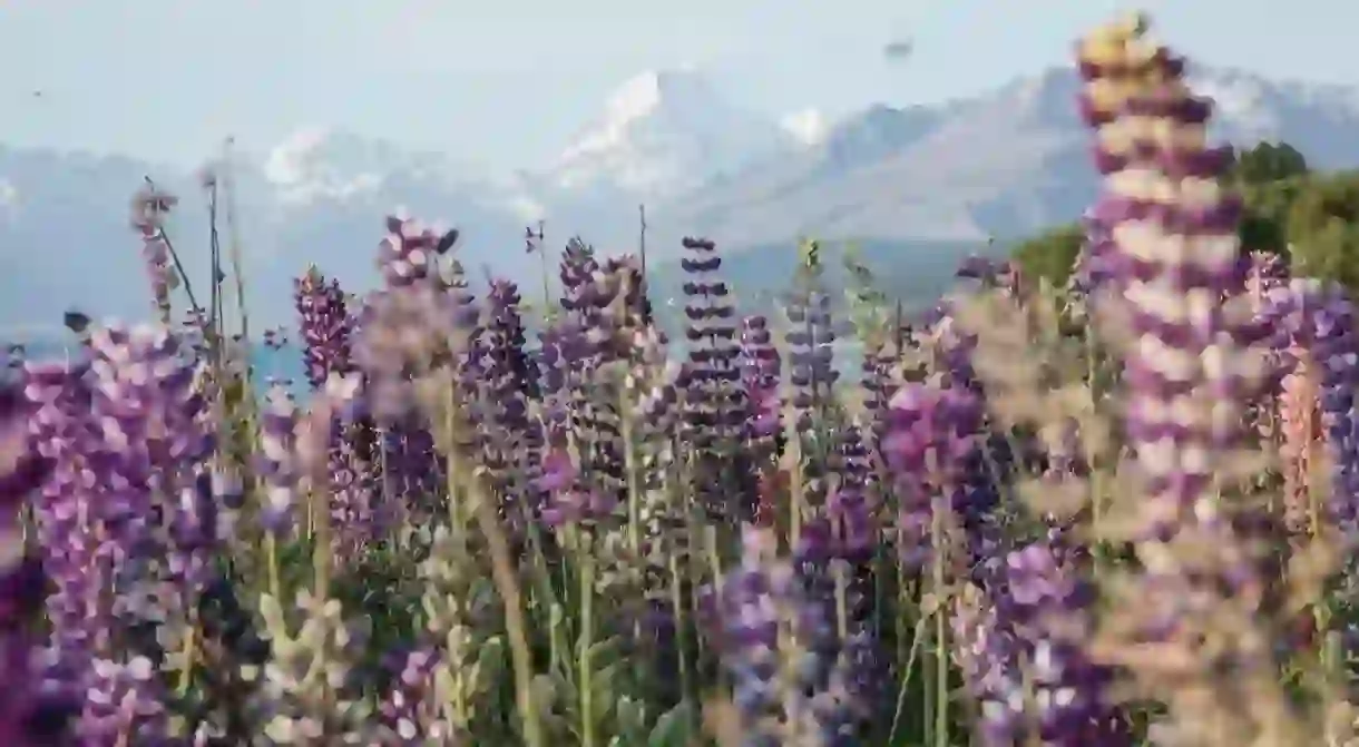
The Mackenzie Country, where Aoraki/Mt Cook National Park is situated, is quite famous for its magnificent lupins.

These begin to emerge along the shores of the lakes, rivers and canals in November and are quite prominent around Lake Tekapo.

To get your own fix of this incredible destination, head on a postcard-worthy road trip via State Highway 80 to reach Aoraki/Mt Cook Village. Lake Pukaki will be one of the breathtaking highlights you’ll discover right on arrival as you head off to explore the surreal landscapes that make this park one of New Zealand’s finest.


