A Brief History of New Zealand's South Island

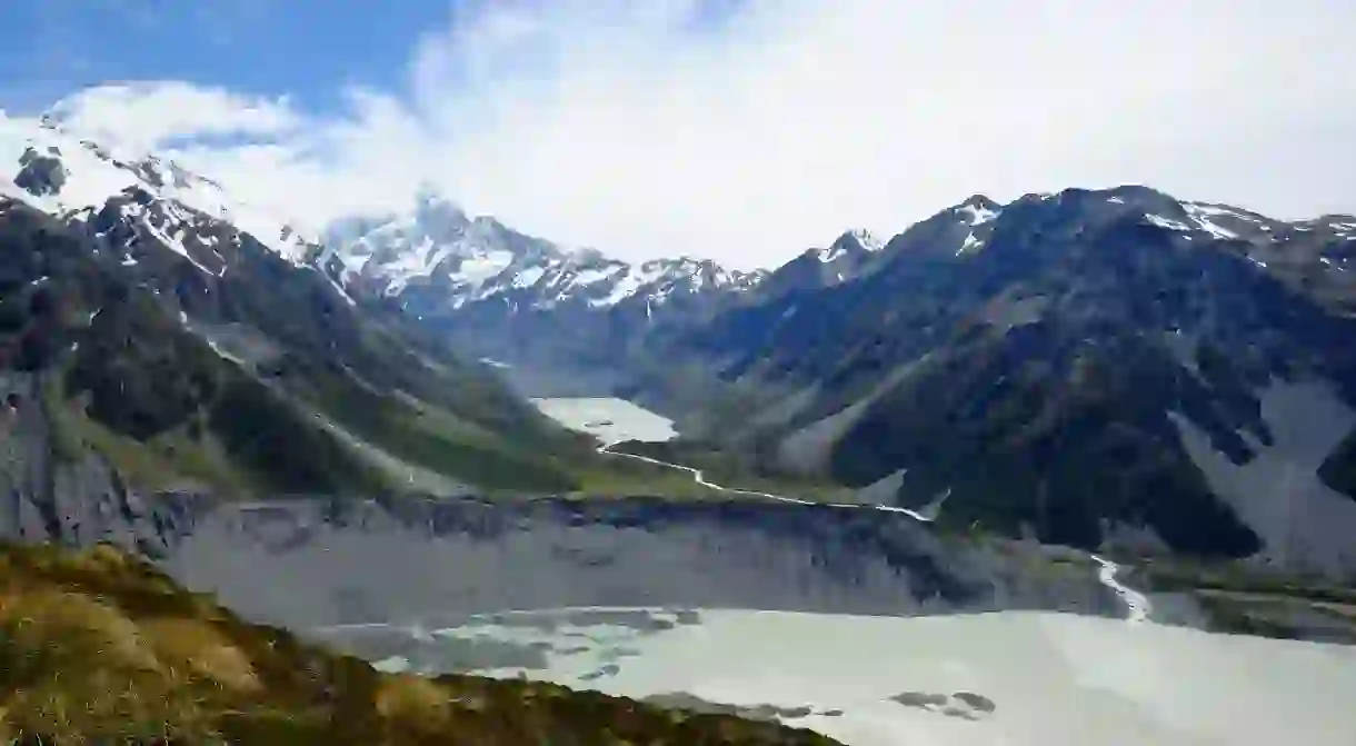
The South Island, also known by the Māori name Te Waipounamu, is the largest of New Zealand’s two major islands. It has an area of 150,437 square kilometres (58,084 square miles), and is bordered by the Cook Strait to the north, the Tasman Sea to the west, and the Pacific Ocean to the southeast. Known as the country’s ‘mainland’ because of its size, this island has an interesting settlement history that everyone should learn about. Here it is, in brief.
Early Māori settlement
The Waitaha iwi (tribe) are believed to have been the South Island’s earliest Māori inhabitants. According to traditional accounts, Rākaihautū led his people to New Zealand, using a giant adze and chanting incantations to safely clear the passage across the seas. His canoe arrived in Whakatū (Nelson), and the Waitaha soon began imposing their whakapapa (genealogy) on all aspects of the land.

Their reign was cut short with the arrival of two northern tribes. First, in the 16th century, the Ngāti Māmoe people made the move from Heretaunga (Hastings) on the east coast of the North Island. They conquered and absorbed many of the Waitaha iwi through land wars and marriage. Later, in the 18th century, the Ngāi Tahu made their way to the South Island from Wellington. This time, conquest was primarily through tribal alliances and strategic marriages. By the 1730s, Ngāi Tahu had successfully infiltrated Kaikoura, the Canterbury Region, and the Banks Peninsula, and were well underway of occupying the West Coast.
In 1827-1828, Ngāti Toa, a tribe that had been cast out of their North Island homeland of Kāwhia, challenged Ngāi Tahu’s tribal domain. Under the leadership of Te Rauparaha, they successfully attacked Ngāi Tahu in Kaikoura. The iwi retaliated, killing all Ngāti Toa chiefs except for one: Te Rauparaha. After spending some time exiled on Kapiti Island, Te Rauparaha returned to the South Island in 1831 to wage war against the Ngāti Toa. Conflicts continued until 1839, when the two tribes came to a peace agreement, which was sealed in place through the intermarriage of two leading families.

European discovery and settlement
Abel Tasman was the first European settler to reach the South Island. The Dutch explorer arrived in New Zealand in 1642, anchoring in Golden Bay (northwest of the Cook Strait). After clashing with Māori, Tasman sailed off to Tonga. The explorer was the first to draw a map of New Zealand, naming it Staten Landt (after the States General of the Netherlands)before Dutch cartographers decided to rename it Nieuw Zeeland (after the Dutch province of Zeeland). James Cook visited the country more than a century later (1769-1770), giving it the Anglicised name that we know today. The first European settlement to the South Island was in 1823, founded in Bluff by James Spencer. This was closely followed by the arrival of French explorer James Dumont d’Urville in 1827.

Britain annexed New Zealand in 1840, initially making the South Island a part of New South Wales. The move, which was rescinded by 1841, had been in response to France’s attempts to colonize the island through Akaroa in the Canterbury region. After the signing of the Treaty of Waitangi, lieutenant William Hobson claimed full sovereignty over New Zealand. While the North Island experienced a series of land wars from 1860s to the 1870s, the less-populous South Island remained relatively peaceful. A significant clash between Māori and the British in 1843, known in older texts as the Wairau Massacre, was the only Treaty-related armed conflict to take place in the South Island. Around the same time, the Otago region was experiencing a major gold rush, which led to the first flow of Chinese migration. During this mining boom, Dunedin became the country’s wealthiest city.

The South Island in the 21st century
In present times, the South Island is divided into 23 different authorities, which includes four city councils and 19 district councils. The island consists of six different regions: the Tasman, Nelson, Marlborough, the West Coast, Canterbury, Otago and Southland.

The South Island continues to have a smaller population than its northern neighbour. It has also become quite popular among tourists because of its unspoiled landscapes, alpine scenery, and diversified wildlife. Additionally, the Marlborough region in the upper South Island is renowned for spearheading New Zealand’s viticulture industry, and continues to be the country’s largest wine producers to date.
A handful of natural disasters have also marked the South Island’s contemporary history. Major earthquakes occurred in the Canterbury region, particularly Christchurch, in September 2010, February 2011 and June 2011. On 14 November 2016, a 7.8 magnitude earthquake struck Kaikoura, triggering a small tsunami and leaving two people dead.


