The Best Hiking Trails in and Around Brisbane, Australia

You don’t need to travel far from Brisbane to find a great hiking trail, or 20 – in fact, you don’t even need to leave the city to tackle some top walks. Scattered throughout national parks and other wilderness areas, options range from short bushwalks to strenuous mountain climbs, with plenty of wildlife-watching opportunities, scenic viewpoints, hidden waterfalls and swimming spots among them.
No matter which option you choose, make sure you set out with the appropriate gear including good walking shoes, a hat, sunscreen and plenty of water, particularly if you’re planning to hit the trails during the Queensland capital’s steamy summer months, when dehydration can strike quickly. Here are six fantastic hikes to start you off.
Mt Coo-tha Summit Track
Natural Feature

The 1.9km (1.2mi) slog up Mt Coo-tha, on the western fringe of the CBD, is well worth it for the sweeping views of the city, Moreton Bay and North and South Stradbroke Islands from the summit. The trail through Brisbane’s largest conservation reserve begins at JC Slaughter Falls picnic area, and ends at Mt Coot-tha Lookout, where you can grab refreshments at the Summit Cafe or treat yourself to a gourmet lunch at The Summit restaurant.
Morelia Walking Track, D'Aguilar National Park
Natural Feature
Extending 36,000ha (89,000 acres) northwest of Mt Coo-tha, the diverse landscapes of D’Aguilar National Park are laced with more than 20 official trails. If you’re a sucker for a good view, make a beeline for the Morelia walking track. Starting from Manorina, this 6km(3.7mi)-return walk meanders through patches of cool rainforest and open eucalypt forest before reaching the Mount Nebo lookout, where you can admire magnificent views over Samford Valley, Mount Tempest and Moreton Bay. On a clear day, the Moreton Island sand dunes appear to hover on the horizon.
Mount Ngungun Summit Track, Glass House Mountains National Park
Natural Feature

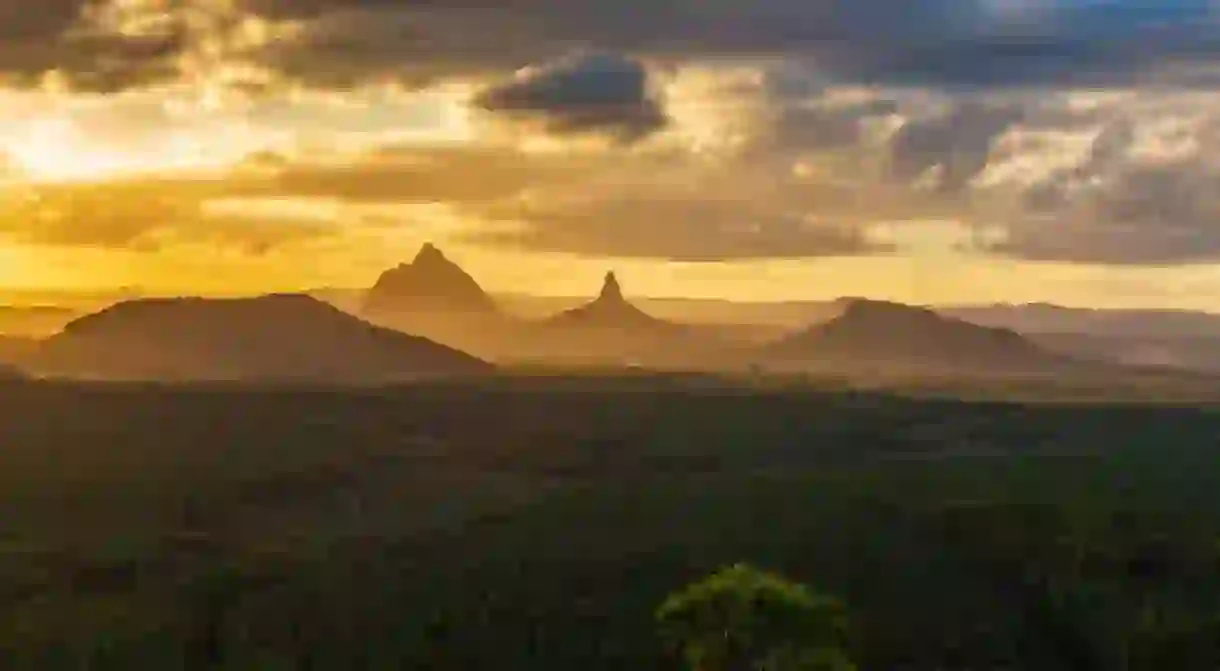
How can you get the best views of the Glass House Mountains? By climbing one of them, of course! Mount Beerwah might be the tallest of this collection of 13 volcanic remnants just an hour’s drive north of Brisbane, but the views from the summit of Mt Ngungun (253m/830ft), not to mention the great view of Mt Tibrogargan on the way up, are pretty spectacular. Allow two hours to complete the 2.8km(1.7mi)-return hike, and watch the sheer cliff edges – they can become slippery when wet.
Tooloona Creek Circuit, Lamington National Park
Park
Venman Circuit, Venman Bushland National Park
Natural Feature
For a classic Aussie bushwalk (with koalas!) just 40 minutes south of the city, it doesn’t get much better than the easy, 7.5km (4.7mi) Venman Circuit in Venman Bushland National Park. Allow around four hours to complete this trail, which follows Tingalpa Creek through melaleuca swampland and eucalypt forest, which is an important habitat for koalas and other wildlife. Add extra time if you’d like to link up this walk with one of the interconnected trails that make up the Koala Bushland Conservation network of parks.
Curtis Falls Track, Tamborine National Park
Natural Feature

Top off a day trip to Tamborine Mountain, an hour’s drive south of Brisbane, with a short (1.1km(0.7mi)-return) but beautiful hike to the base of Curtis Falls. This enchanting walk, perfect for families, begins in a wet eucalypt forest beneath towering flooded gums, which soon merges into lush subtropical rainforest. Beautiful ferns can be seen in the canopy above, with the rockpool and surrounding basalt rock face at the base of the falls providing an important glow-worm habitat – you’ll need to come back at night to see the spectacle.


