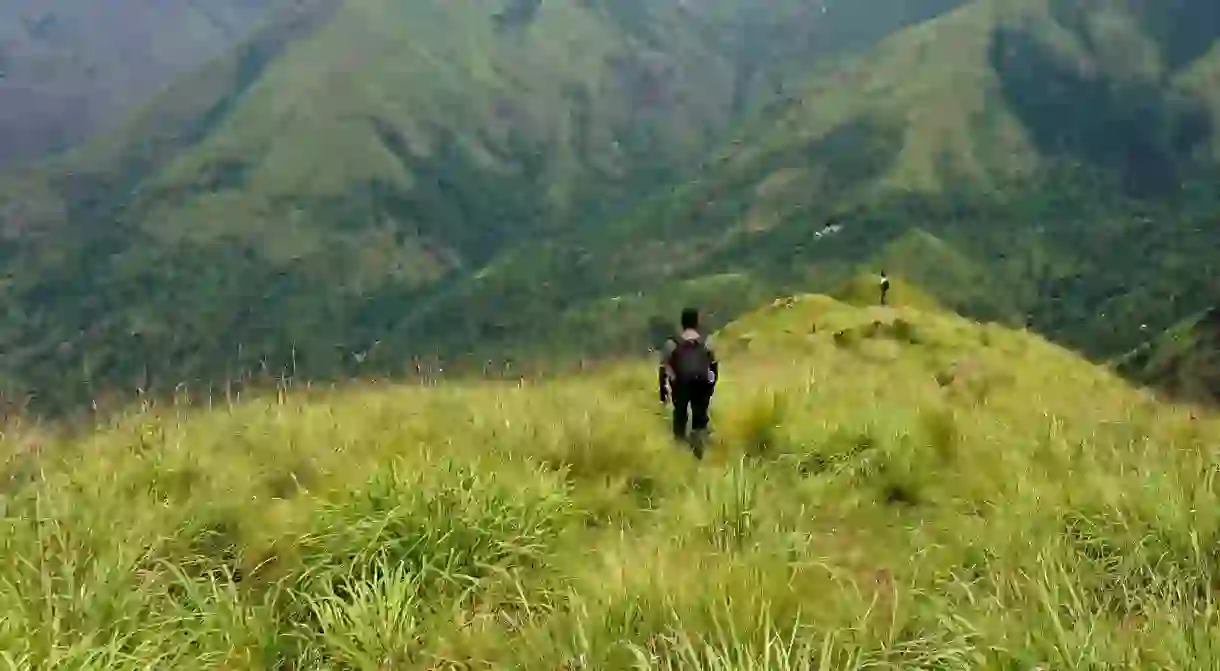
7 Scenic Hiking and Trekking Trails in Kerala, India

Kerala is known for its tranquillity with its sedate beaches and smooth backwaters. However, it has a more adventurous side. Lying on the path of the magnificent Western Ghats ranges, Kerala is blessed with some of the most alluring hills which have some of the most enthralling trekking and hiking paths to be found. Here is a selection of seven tracks that will be soul food for the audacious hiker.
Top Station Trek (descent)
About 40km (25 mi.) from Munnar town, towards the direction of Vattavada, lies the most visited tourist spot in Munnar – the Top Station view-point, at 1880m (6170 ft.) above mean sea level (AMSL). It rewards with some of the most mesmerising views of Kottagudi valley and the mist-kissed Kolukkumalai and Meesapulimala peaks. The trek commences from behind the view-point and descends to Kurangani village, passing through Muthuvagudi village at 1175m (3855 ft.) AMSL. The trail is an old tribal path which connected the villages in the mountains with those in the valley.
Trail Distance – 9km (5.6 mi.)
Trail Time – 4 hours (including photo breaks)
Difficulty – DIY Easy

Kolukkumalai Peak Trek (ascent)
Traversing the borders of the states of Tamil Nadu and Kerala, the path to Kolukkumalai peak is one of the most picturesque and frequented hikes in Idukki district. The trail starts from Kurangani village and ends at the peak perched at 2170m (7120 ft.) AMSL. The tracks traverses grasslands, Shola forest patches and, arguably, the highest organic tea garden in the world at 2036m (6680 ft.) AMSL. An early morning start is advised as the mountain slope faces east and the sun will punish you through the 3km stretch of grassland, devoid of any trees but one.
Trail Distance – 11km (6.85 mi.)
Trail Time – 7 hours
Difficulty – DIY Moderate

Meesapulimala Peak Trek (circuit)
At 2640m (8661 ft.) AMSL, Meesapulimala peak is the second highest summit in the Western Ghats mountain range. Prior permission is required from Kerala Forest Development Corporation (KFDC) for treks. The hike starts from Kolukkumalai Tea Estate, which can be reached via jeeps hired from Suryanelli. The last 2km to the top is one of the hardest and most adventurous parts compared to other treks on this list.
Trail Distance – 8km (5 mi.)
Trail Time – 6.5 hours
Difficulty – DIY Difficult – KFDC Permission required
Essentials – Water: 4 litres, healthy snacks, packed lunch

Agasthyarkoodam Peak trek (circuit)
Agasthya Mala with an elevation of 1868m (6130 ft.) AMSL, the highest peak in the south of Kerala, offers a scenic trekking experience outside Idukki district and is one of the most sought after adventure routes. The expedition to the top is allowed based on strict guidelines and is open between January and mid-March. Passes for trek route starting from Bonaccord Picket Station 1 are issued online on first-come-first-serve basis by Kerala Forest & Wildlife Department (KFWD). The dates are announced by KFWD, usually a week before commencement of the season.
Trail Distance – 40km (25 mi.)
Trail Time – 2 days & 1 night – Circuit
Difficulty – Guided with Camping – Difficult – KFWD Pass required
Essentials – Water: 6 litres, meals

Illikkal Kallu (circuit)
Bridge

Trail Time – 4.5 hours – Circuit
Difficulty – DIY Easy
Essentials – Water: 2 litres
Chembra Peak Trek (circuit)
Forest
Trail Time – 6 hours – Circuit
Difficulty – Guided – Moderate – KFWD Pass required
Essentials – Water: 4 litres, snacks, packed lunch
Lion Tailed Macaque trail (circuit)
A forest pathway passing through semi-evergreen and evergreen forests of Shendurney Wildlife Sanctuary, Kollam, is a trekker’s delight. The beaten track is a conservation and protection oriented trip organised by the sanctuary to educate tourists on flora and fauna. Troops of Lion-tailed Macacques are commonly seen en route. Gaurs and elephants are often sighted along the trail, which is also abundant in myriad birds, butterflies, and insect species. Trekkers are accompanied by guides and forest guards.
Trail Distance – 18km (11.2 mi.)
Trail Time – 8 hours – Circuit
Difficulty – Guided – Moderate
Essentials – as advised by Shendurney Wildlife Sanctuary officials


