The Most Spectacular Hikes in the Guadalupe Mountains

250 million years ago, West Texas was a tropical water world populated with coral reefs. Today, the most extensive fossil reef on Earth is a hiker’s paradise. The Guadalupe Mountains are home to the state’s tallest peaks and 80 miles of trails waiting to be explored.
Guadalupe Peak
If there’s one hike to do in the Guadalupe Mountains, it’s the park’s namesake peak. The tallest point in Texas at 8,749 feet, Guadalupe Peak is a strenuous hike that rewards stamina with unparalleled views of Chihuahuan desert, dunes and forest. The trailhead starts at the Pine Springs Campground parking lot, which kicks off a two-mile stretch of steep switchbacks and elevation gain. From here, the remaining two miles to the peak are pretty painless in comparison, allowing hikers to focus more on the vast valleys and craggy fossil walls. The trail rises over nearby El Capitan, another tall peak, before scrambling up some rocks to reach the top. Altogether, the trail clocks in at about 3,000 feet of elevation gain, much of it in direct sunlight. It’s essential to come prepared with plenty of water, sunscreen and energizing snacks like granola bars, nuts and sandwiches. Especially considering how steep and rocky parts of the trail are, high-quality hiking shoes are also pivotal. For the determined and the adventurous, this is one intense trek that pays off in strides.

The Bowl
Starting at the Pine Springs Campground trailhead, The Bowl brings the wow factor with its striking juxtaposition of coniferous forest and rugged canyon walls. After cacti and desert, the trail ascends 2,500 feet into terrain that feels worlds apart. Up here, pine trees and Douglas firs abound, providing sanctuary in the Texas heat. High ridges and deep, rocky valleys offer incredible views into the heart of the mountain range, especially from the tip of Hunter Peak. This is another tough trail that requires endurance and lots of water, but it’s worthwhile for its sprawling vistas.

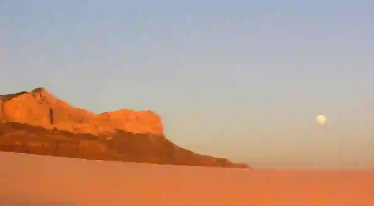
McKittrick Canyon
For a more moderate hike with no less striking views, McKittrick Canyon is a must. Located in the northeastern portion of the park, a few miles from the New Mexico border, the relatively flat trail weaves for three miles through a fossilized reef canyon lined with riparian trees. The canyon is home to the only stream in the park that doesn’t dry up, and the trail crosses the babbling brook a few times, necessitating hopping across some rocks to avoid getting wet. Thanks to the abundance of trees along the canyon floor, many of which turn bright yellow and orange in October and November, this rail provides a good amount of steady shade. Hikers can take the trail to the historic Pratt Cabin, a stone and wood structure built as a summer vacation home for the man who eventually donated the land to the National Park Service, Wallace Pratt. Another option is to trek another mile and a half to the Grotto, a tranquil riverside grove nestled alongside a looming wall of fossilized reef.

Permian Reef
For fans of geology, the Permian Reef trail is a journey back in time – a time when Texas and New Mexico were submerged in a shallow tropical sea. Named for the Permian era, which took place 250-300 million years ago, this trail soaring above McKittrick Canyon examines the best examples of fossilized reef in the mountains. Over millions of years, wind and rain eroded sediment away to reveal what’s left: ancient algae, sponges and limestone reef turned to rock. Over the course of the 8.4-mile round-trip hike, visitors immerse themselves in El Capitan Reef and learn about the region’s fascinating formations with geology guides available at the park visitor center.

Smith Spring Trail
Nature really comes alive along the easy 2.3-mile Smith Spring Trail, an area known for prime wildlife sighting. Much of the park seems relatively devoid of animal life by comparison, due to the arid climate and lack of water, but thanks to Smith Spring’s desert oasis, it’s a good place to spot mule deer, lots of birds and occasional elk (bears and mountain lions also dwell in the mountains, but are rarely seen). The mostly flat trail kicks off at Frijole Ranch, and loops around to Manzanita Spring. Both springs are shady and lush, making them great spots to stop for lunch.

Marcus Overlook
In the northern end of the park, the Dog Canyon area is the least visited part of the Guadalupe Mountains. Though it’s a remote area that requires extra driving, it’s worth it for the serenity and solitude the trails provide. And if there’s one trail to tackle up here, it’s Marcus Overlook. The moderate hike starts at Dog Canyon Trailhead and runs for about 4.5 miles. As visitors hoof it along Bush Mountain Trail to Manzanita Ridge, they’ll be met with sweeping views looking into West Dog Canyon, with the rest of the mountain range rising along the horizon.


About the author

Born and raised in New Hampshire, Matt Kirouac is a travel writer currently based in Chicago, though always on the lookout for his next adventure. He writes and edits for outlets like Money Inc, KOA, TripExpert and What Should We Do?! He's the author of The Hunt Guides: Chicago (2016) and Unique Eats & Eateries of Chicago (2017).
Read Next

17 Incredible Places to Visit If Money Were No Object

The Most Beautiful Parks and Gardens in Mexico City

The Best Art and Textile Markets in Mexico

The Most Beautiful Beaches Near Oaxaca and Mexico City

5 Things To Do in Centro Histórico, Guadalajara

The Museo Nacional de Antropología’s 5 Must-See Exhibits

The 16 Best Historic and Colonial Cities in Mexico

Welcome to Catemaco, the Witchcraft Capital of Mexico

Mexico's Top Destinations for Bohemian Travelers

The 9 Best Things To Do in Polanco, Mexico City

The Top 10 Things to See and Do in Chiapas, Mexico

The Best Theme Parks in Mexico
