A Hiker’s Guide to the Smoky Mountains, Tennessee
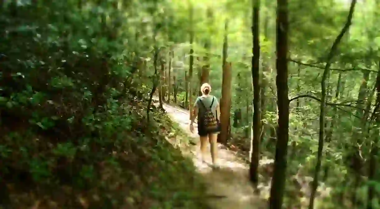

The Great Smoky Mountains National Park is one of Tennessee’s most popular hiking destinations. There are several trails hikers can take, each with different levels of difficulty. Whether you’re looking for an easy hike with a scenic view or a challenging trek over large, unsteady rocks, here are the best places to take a hike in the Smokies.
Ramsey Cascades
The tallest waterfall in the Great Smoky Mountains National Park is Ramsey Cascades, which you can get to by hiking. To get to the trailhead, you must drive through towering trees, down the Middle Prong of the Little Pigeon River. Tulip trees, yellow birch trees, and hardwood forest will surround you. Once at the waterfall, which is 90 feet (27.4 meters) tall, you’ll see salamanders swimming in a small pool at the bottom. If you need to stop for a bite to eat, there’s a large stone ledge near the falls that’s perfect for having a picnic.
Difficulty: Strenuous
Distance: Eight miles (12.9 kilometers) round trip

Andrews Bald
For spectacular views of the Great Smoky Mountain highlands, a hike through Andrews Bald is the place to go. At about the 1.7-mile (2.7-kilometer) mark is where you’ll reach the outskirts of Andrews Bald. Another 100 yards past that is where you’ll find acres of open meadows, perfect for enjoying a picnic or soaking in the panoramic views of Fontana Lake and the southern side of the Smokies.
Difficulty: Easy
Distance: 3.6 miles (5.8 kilometers) round trip

Porters Creek Trail
When you first make your way down Porters Creek Trail, you’ll follow a gravel road that winds through a forest of trees and rocks along the banks of Porters Creek. Once you get about two-thirds of the way down, you’ll see several old stone walls, which are remnants of the Elbert Cantrell farmstead, followed by the Ownby Cemetery. Both of these landmarks date back to the early 1900s. Shortly after that spot, hikers cross a footbridge that leads them to a fork in the road. To the right is a historic farm site, as well as a cabin that was built by the Smoky Mountain Hiking Club in the 1930s. At two miles (3.2 kilometers) is Fern Branch Falls, which is a 60-foot (18.3-meter) waterfall that drops off the ridge on the left side of the trail.
Difficulty: Moderate
Distance: Four miles (6.4 kilometers) round trip


Spruce Flat Falls
One of the quieter spots to hike in the Smokies is the trail leading to Spruce Flat Falls. Not far from the Tremont Visitors Center is a road that leads back to the Tremont complex. When the paved road ends, there is a nearby trail the takes hikers over rocks and protruding roots, leading to the 30-foot (9.1-meter) cascades. The waterfall connects to the Middle Prong, and further downstream, you can see Upper Tremont Road through the trees.
Difficulty: Moderate
Distance: Two miles (3.2 kilometers) round trip

Mount Cammerer
More advanced hikers will enjoy the views offered by Mount Cammerer at the lookout tower. At the top of the mountain, you can see the Southern Appalachians in a 360-degree panoramic view. It’s not until you approach the five-mile (eight-kilometer) mark that the trail leads to the summit of Mount Cammerer. Atop the summit, which is 4,928 feet (1,502 meters) in elevation, is a rocky outcropping that overlooks the Pigeon River Gorge. The summit was once a lookout point, built by local laborers and the Civilian Conservation Corp in the 1930s; they used hand-cut stones to form an octagonal shape. The architectural style of the lookout was called “western” because it didn’t require a raised structure to see above the trees. This lookout was in operation until the 1960s.
Difficulty: Strenuous
Distance: About 11 miles (17.7 kilometers) round trip

General safety tips
On the day of your hike, check with a park ranger for the status of trail conditions.
Check the weather forecast before beginning a hike.
If you plan on hiking at high elevations during the winter, use traction devices for your boots.
Wear shoes with strong ankle support.
Drink plenty of water.
Avoid drinking soda or alcohol, as these can dehydrate you.
Take a map with you on your hike.
Bring snacks that provide high energy, such as fruit, peanut butter, trail mix, or beef jerky.
Carry health insurance cards with you.
Watch for signs of heat exhaustion when hiking during the summer.
Wear sunglasses, especially at higher elevations.
Only pack and carry what you need.
In case you’re still hiking when it gets dark, carry a small flashlight.
Never approach wild animals.
Beware that there are close to 1,500 black bears and two species of poisonous snakes living in the Smokies.
About the author

Leena is a freelance writer, fashion blogger, wife, and mom. She currently lives just outside of Nashville, TN, where she spends most of her days chasing after two little people 24/7. She has written for sites like Life as Mama, opeeqo and various celebrity influencer blogs.
Read Next

The Best Private Museums to Visit in the USA

The Best Places to Visit in the Pacific Northwest

The 10 Most Beautiful Towns in the Midwest

The USA's 10 Best History Museums

15 Stunning Natural Wonders in Central America That Will Take Your Breath Away

Where To See Georgia O'Keeffe's Art

The Most Beautiful Towns and Cities in Tennessee

From Denver to Moab on the Rocky Mountaineer

The USA’s Top 10 Modern Art Museums

The Best Destinations for Ecotourism in the US

17 Incredible Places to Visit If Money Were No Object

37 Must-Visit Attractions in the United States
