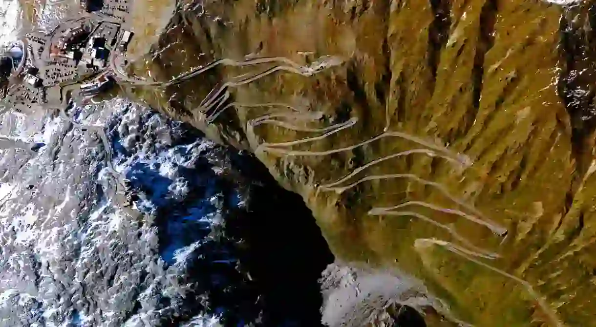
Satellite Photos Explore Earth's Stranger Side

In the new photography book entitled Overview, space enthusiast-turned-photo-blogger, Benjamin Grant, presents a monograph of astounding aerial photographs captured by satellite. The following photographs depict a new ultra-texturized, abstract perspective of our modern landscape, and challenge us to confront our architectural impact on Earth.
Brasilia, Brazil

The 288-page book started out as a blog and Instagram project after Grant stumbled upon DigitalGlobe‘s distant satellite images of Earth. Eventually he worked out a deal with the company for direct access to the images in order to manipulate the raw data in Photoshop. DigitalGlobe uses cameras with 32 times the normal focal length of a regular SLR, which allows for the richness of detail resulting in crisp, clean shots.
The project’s name was taken from Frank White’s coined term “Overview Effect,” which describes the sublime, almost mystical experience astronauts can feel as they view the Earth from space. “From a distant vantage point one has the chance to appreciate our home as a whole, to reflect on its beauty and its fragility all at once,” he told American Photo Magazine in an interview.
Grant says that the main inspiration behind the project was to bring more awareness to our planet and the impact humans have on our landscape, particularly by highlighting solar concentrators, mines, and ports. “I hope to inspire a similar feeling of awe with this daily dose of fresh perspective,” he pens in Daily Overview. These “far-flung perspectives” of the Earth, with their textile-appearance and sharp detail, essentially turn our planet into an abstract, architectural work of art.
Artificial Islands in Durrat al Bahrain – Bahrain

Arc de Triomphe – Paris, France

Rice Terraces – Yuanyang, China

Stelvio Pass – Italy

Tulip Fields – Lisse, The Netherlands

Burning Man – Nevada, USA

Golden Gate Bridge – San Francisco, USA

Het Loo Palace – Apeldoorn, The Netherlands


