The Best Hiking Trails in the Pyrenees

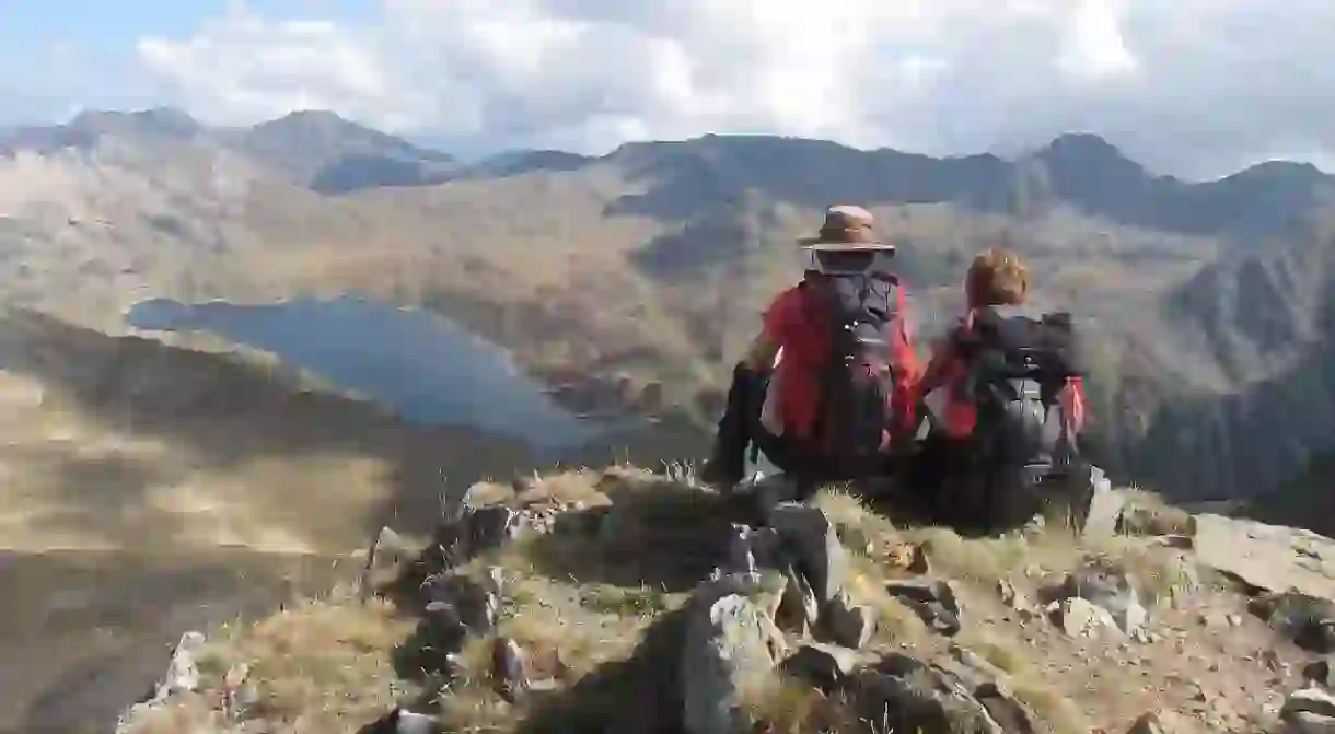
The Pyrenees are one of Europe’s greatest mountain ranges – a string of soaring snowy peaks, which mark the border between France and Spain and run right through the small nation of Andorra. Come spring and summer when the ski slopes are all closed, however, they make for the perfect summer hiking playground. Here’s our pick of the best hiking routes in the Pyrenees.
Portbou to Cadaquès
This stunning hike is part of the GR92 route than runs along Catalonia’s Costa Brava region. It begins on the edge of the Pyrenees in the border town of Portbou and continues all the way down the rugged coastline to the picturesque, whitewashed village of Cadaquès. The route is approximately 35km long, so can easily be done on a lovely two-day hike, breaking up the journey either in the towns of Llançà or Port de la Selva.

The first section of the Camino de Santiago
The Camino de Santiago is one of Spain’s most famous hiking routes – the pilgrimage trail that runs all the way from France to the city of Santiago de Compostela. The whole route takes around a month to complete, but if you just want to walk part of it, then try one of the most challenging, yet most rewarding sections of the journey – the first part from Saint Jean Pied de Port (in France) to Roncesvalles (in Spain). Straight through the peaks of the Pyrenees, the hike is around 24km and takes around six hours to complete.

Col de Tentes to Cirque de Gavarnie
The Cirque de Gavarnie lies within the Pyrenees National Park near the French-Spanish border. Victor Hugo famously described the Cirque de Gavarnie as the ‘colosseum of nature’ in his poem Dieu. A vast valley, it’s framed by a huge crescent-shaped rock face, down which flows one of Europe’s highest waterfalls, and is home to some spectacular hikes. One of the best is from Col de Tentes to the bottom of Cirque de Gavarnie, which takes around two and half hours to complete. For something a little easier, hike down from Gavarnie village, which takes just an hour and a half.

Senda Pirenaica – GR11
The GR11 runs from Hondarribia on the Bay of Biscay to Cap de Creus on the Mediterranean, around 840km long. It’s characterised by high altitudes and rocky paths, and takes around 44 days to complete the whole grand route. It’s a spectacular yet gruelling hike, best for more advanced hikers. Those who just want to walk part of the route, however, should choose a hike around the Ordesa Canyon.

Senda Pirenaica – GR10
The GR10 mirrors the GR11, but lies on the French side of the border instead of the Spanish one. This side is greener than the Spanish side and is also at slightly lower altitude levels. It’s more popular than the GR10, and also offers more refuge along the way. One of the most spectacular sections of the route is the detour from Cauterets to Luz-St-Sauveur via the Hourquette d’Ossoue peak, within the Pyrenees National Park, if you only choose to walk a section of it.

Chemin des Bonshommes
This historic hiking route takes visitors walking in the footsteps of the Cathars from Foix to the Berga Sanctuary. It begins in the Ariège Pyrenees in France and ends near Queralt in Catalonia, Spain. Best for experienced walkers only, it takes around 10 to 12 days to complete and follows the route the Cathars took between 1230 to 1310 when they fled into the mountains of Spain to escape persecution during the Inquisition. Along the way, you will see ruins of many romanesque churches, as well as chateaux, shepherds’ huts and charming hamlets.


