The Best Hiking Trails in the Picos de Europa, Spain

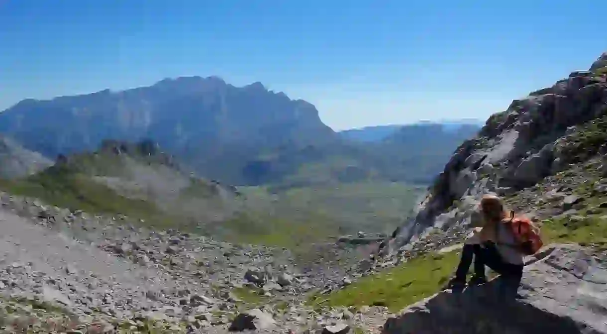
The Picos de Europa National Park is one of the biggest in Spain and is situated between the areas of Asturias, Cantabria and Castilla y León. It covers an area of 64,660 hectares (636 square miles) and has been designated a UNECO Biosphere Reserve, characterised by huge massifs, green pastures, rocky pinnacles and snowfields. Here’s our pick of the best hiking trails in the Picos de Europa National Park.
The Cares Route
One of the most spectacular hiking routes in the whole of Europe, the Cares Route runs along the Cares River and is nicknamed ‘the Divine Gorge’. The route is 12 kilometres (seven miles) long in total and runs from Poncebos in Asturias to Caín in León. The trek is characterised by soaring cliffs, steep drops to the river below and small narrow pathways.

Covadonga Lakes
One of the most beautiful hikes in the park, this is a circular route, which takes travellers around the beautiful Covadonga Lakes in the autonomous region of Asturias. Starting at the Covadonga Sanctuary, it’s 12 kilometres (seven miles) to the first of the lakes, Lake Enol. En route, don’t forget to stop at the stunning Mirador de la Reina (‘viewpoint of the queen’) lookout point. The second lake is Ercina, standing at a height of 1,108 metres (3,635 feet). It’s a long hike, but well worth it for the splendid views and for the privilege of sharing your space with peaceful wild horses, cows and sheep grazing in the verdant meadows.

Ordiales Scenic Balcony Trail
Located in the same area as the Covadonga Lakes trail in Asturias, you’ll find the picturesque Ordiales Scenic Balcony Trail. The path runs from just behind Lake Enol to the Pradera de Ordiales and is 11.2 kilometres (seven miles) one way. It runs through many green mountain pastures before rising up through the La Gamonal Pass and the huge soaring rocky pinnacles of Santa María and La Cebollera. After this, the trail descends once again towards the tomb of the Marquis of Villaviciosa and the Ordiales Scenic Balcony, offering unrivalled views over the Cornión Massif.

Vega de Ario Plain
The Vega de Ario route starts close to Lake Ercina, one of the Covadonga Lakes, and continues on to the Vega de Ario plain and the Vega de Ario refuge, before heading back to the lake. It offers spectacular views of the lakes, the surrounding pastures full of cattle and the soaring peaks in the distance. Measuring a total of 15 kilometres (nine miles), it takes around five hours to complete.

Ruta de Fuente Dé a Puertos de Aliva
As the name suggests, the route takes hikers from the Fuente Dé cable car to the Puertos de Aliva, in the region of Cantabria. The trek is 13.4 kilometres (eight miles) there and back and is of medium difficulty. Starting at 730 metres (2,395 feet) high, the whole trail is downhill and showcases some jaw-dropping vistas along the way. Among the things to look out for on this route are the giant peaks of Tesorero, Horcados Rojos and Peña Vieja.

Ruta de Torre de Horcados Rojos
One of the most symbolic peaks of the Picos de Europa is the Torre de Horacados Rojos, a rocky pinnacle standing at 2,343 metres (7,687 feet). It is not a very difficult climb to the top and the route is only 10 kilometres (six miles) long, when starting from the upper station of the Fuente Dé cable car, so it makes for a very rewarding hike. Taking around four hours to complete, it is well worth it for the stunning views, to the north to the Cantabrian Sea and the Sierra de Cuera, and to the south to Cabaña Verónica and its rising peaks.

PNPE 27 at Brez
Situated just across the border from Asturias in Cantabria, part of the PNPE 27, this is a circular trail starting and finishing at the charming village of Brez. Measuring 5.1 kilometres (three miles) long, it runs through the Valley of Camaleño and part of the Andara massif.


