The Best Hiking Routes in Galicia

Galicia is one of Spain’s best regions for hiking, home to many marked trails, as well as dramatic coastal, mountainous and forested landscapes. Because of its location in the northwest corner of the country, it’s also a lot cooler than the rest of Spain, making hiking more pleasant in spring and summer. From the famous Camino de Santiago to the Way of the Lighthouses and the Water Route, here are Galicia’s best hiking routes.
Camino de Santiago
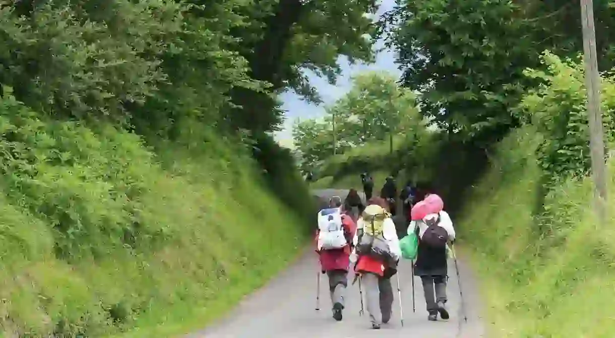
One of the most well-known hiking routes in Galicia is of course the Camino de Santiago – the famous pilgrimage route across the top of Spain to the city of Santiago de Compostela. The whole route covers around 500 miles (800km) and takes one month to complete, however you can choose to just hike the last part of the route from Sarria to Santiago de Compostela. This last part of the route is 60 miles (100km) and takes around five days.

Camino Inglés
Another of the Santiago pilgrimage routes is the Camino Inglés, or the English Way, which begins in the Galician cities of either Ferrol or A Coruña and ends in Santiago de Compostela. Taking a week to complete, this route gives hikers the chance to explore the interior of Galicia, past its rivers and lakes, through its forests, quaint villages, and hilly green landscapes.
Camino de Finisterre
The road to Finisterre, known as “the end of the Earth,” is an extension of the Camino de Santiago, which runs from the city of Santiago de Compostela to the Cape of Finisterre on the coast. It was once believed to be the end of the most western point of Europe and was a route walked by many pagans. Today, many pilgrims still walk the Camino de Finisterre, after completing the Camino de Santiago, in order to reach the ocean and make their journey more complete.
O Camino dos Faros
The Way of the Lighthouses runs for 125 miles (200km) along the coast of the Costa de Morte, from Malpicia down to Finisterre. It passes many beaches, dunes, forests, rugged cliffs, river estuaries, and of course lighthouses, and is one of the most stunningly beautiful hikes in Galicia.
Ruta de O Alto do Principe
Located on Las Islas Cíes, off the coast of Galicia, the Ruta de O Alto do Prinicpe is the path of ascent on Mount Agudo. Just two miles (3km) long, it begins at Figueiras Beach and takes just over one hour to reach the top. From here, you’ll enjoy some of the most beautiful views over the archipelago, as well as stunning natural rock formations, including the Silla de la Reina (the Queen’s Chair).
Senda del Agua
The Water Route is located close to the Galician city of Vigo and runs along the canals that transport water to the Eiras dam. The route is eight miles (13km) long and is fairly easy going, so is great to do in one day, or even to take the kids along on. It takes in areas of natural beauty, including rivers, streams, forests and the Vigo estuary. The route is very popular among cyclists, too.
Sendero del Río Fraga
The Sendero del Río Fraga runs along the Fraga River and passes over 30 old water mills in various states of disrepair. Around four miles (7km) long, the trail can be found in the municipal of Moaña, located across the river estuary from Vigo. It passes through lush forests and meets many natural pools, waterfalls and quaint wooden bridges along the way.
Did you know – Culture Trip now does bookable, small-group trips? Pick from authentic, immersive Epic Trips, compact and action-packed Mini Trips and sparkling, expansive Sailing Trips.


