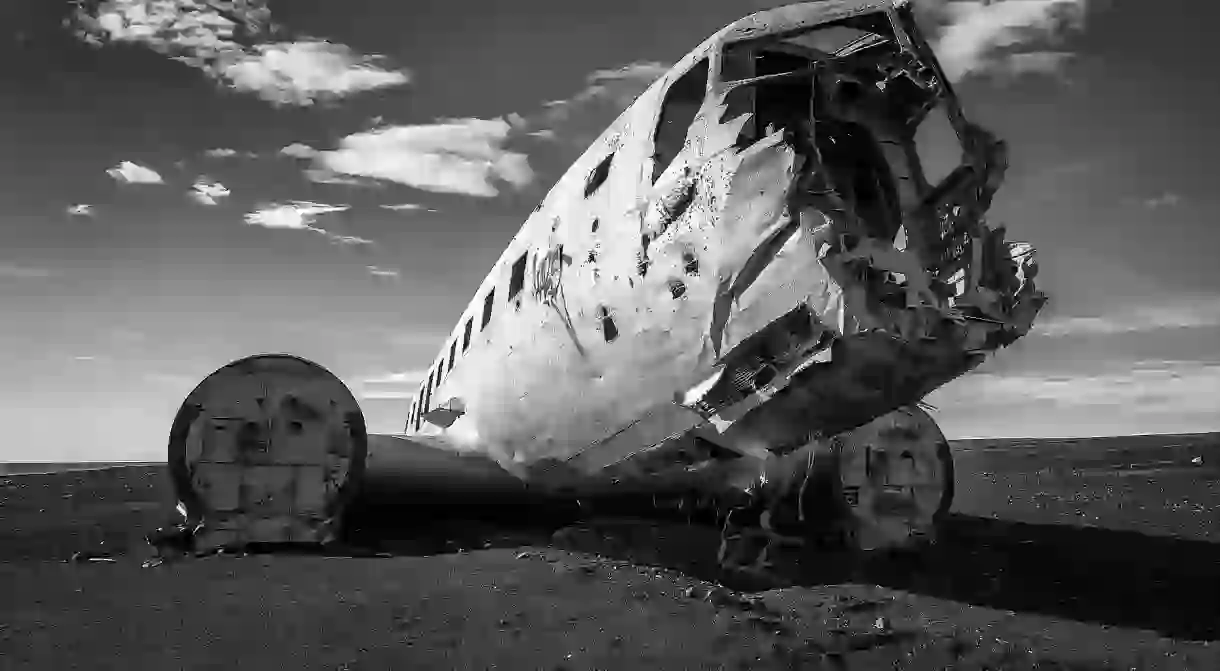
The Story Behind Iceland's Most Photogenic Crashed Plane

If you’re driving along the south coast of Iceland, you have probably been told to keep your eyes open for a very photogenic crashed plane lying very close to the sea. The famous plane in question, a US Navy DC plane, crash-landed on the black beach of Sólheimasandur in 1973 with no fatalities. The pilot had accidentally switched over to using the wrong fuel tank, which caused the plane to run out of fuel.
The scene of the crash site is already an otherworldly vision in itself; now, the white wreckage sprawls on the expanse of black sand that has so many color nuances within it. A popular attraction with photographers, and for good reason, the surreal site is definitely worth the effort it takes to get there. Adventurers can even climb inside the plane for more epic shots, and you can even hire a tour guide to help you explore the site.

To get there, you have to take about a one-hour trek, one way, from the main road – cars are not allowed to drive on the black sand as it can be very soft in places and very easy to get stuck in, which is dangerous, as the location is quite isolated. The flora of the sand is also very fragile, so cars are banned to help protect them. The trek from the main road is not very clearly marked, so it can be a challenge and is definitely not recommended in winter, as snowstorms and adverse weather conditions can make visibility extremely difficult. On a flat beach in Iceland, where the wind can be ferocious, the likelihood of a sandstorm is even higher, and an Icelandic sandstorm is definitely not something you want to be caught in.

As you drive toward the wreckage along the south coast, you will pass Skógafoss waterfall and the glacial river, Jökulsá, after which you will be close to the best place to begin hiking toward the site. The wreckage is not visible from the road, but a parking lot marks the spot. The coordinates are 63 27.546-19 21.887, and here’s a map showing you how to find it.


