
Spring is in the air, and with the freshest season of the year comes good weather, a new wardrobe, sunny optimism, and, of course, more time to spend in the great outdoors. Kick off your Oxfords and slip into a pair of boots for these 5 great hikes around the San Francisco Bay Area.

Deer Park
Intensity: Strenuous
Length: 4 miles
Ditch the crowds at nearby Mount Tamalpais and discover a few of Marin County’s most charming, and secluded, nature trails. Nestled in the bosom of quiet Fairfax, Deer Park is a starting point to a number of superb hiking trails. The best hikes end at Bald Hill. Entering the park, go straight past the elementary school, swing a left and climb several switchbacks on Deer Park and Buckeye Trails leading to a small hill. As you enjoy views overlooking the park and the surrounding towns of Fairfax, San Anselmo, and San Rafael, make sure to take a breather; the following climb is steep, but well worth it. After a short ascent up Warm Springs Fire Road, you will reach the crest of Bald Hill, an aptly named promontory that provides a vantage point over all of Marin, the East and South Bays, and the ridge of mountains rising out of the sea by Stinson Beach. Going on a cold, clear day ensures the greatest array of stunning surroundings. To the west, banks of fog steal over the mountain passes and, like thieves, descend silently into the forested valleys below. To the east, clear skies offer unparalleled views of San Pablo Bay, from the oil refineries of Richmond to the marshes of Vallejo. To the north, the hills of Marin stretch far into the distance. The Mt. Tamalpais massif obscures southern views, which nonetheless providing ample material for viewing. Take some time up here to enjoy the solitude. Let the wind play through your hair, feel the cold air in your lungs, and smell the lush smell of fresh grass, moist earth, and the budding flowers of spring. On your way back, enjoy a beer and a bratwurst at Gestalt Haus, the bar-cum-restaurant on nearby Bolinas Avenue.
Gestalt Haus, 28 Bolinas Road, Fairfax, CA, USA +1 415 721 7895

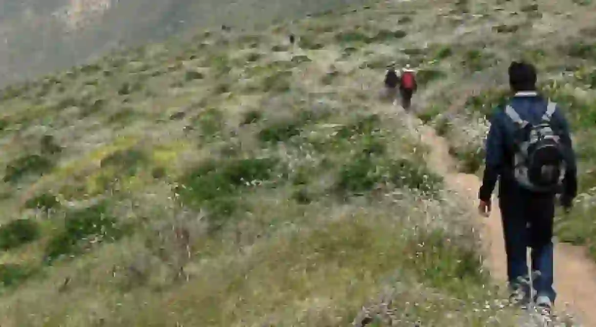
Tomales Point Trail
Intensity: Moderate

Length: 9.4 miles
Located at the extreme northern end of Point Reyes National Seashore, the drive is almost, if not more, enjoyable than the hiking itself. Coming off White Hill, the green fields of San Geronimo Valley merge into temperate rainforests towards the coast, perennially kept moist by the humid air rising up off the sea. The small towns of Olema, Point Reyes Station, and Inverness come and go in between tempting sidetracks and mysterious abandoned houses, leading deeper into the peninsula. Finally, towards the end of Tomales Bay is the Tomales Point Trail. Delightful in springtime, when the wildflowers are in bloom, the trail follows a flat promontory for close to five miles before terminating at Tomales Point. Bird watching is superb, and the presence of the Tule Elk Reserve makes it possible to see one of these majestic beasts on the way. Make sure to bring sunscreen and a good windbreaker, as this trail is completely exposed and can get a little chilly.

Diablo Foothills Regional Park
Park

Length: 4.5miles Diablo Foothills Regional Park, 1700 Castle Rock Road (Northern Staging Area), Walnut Creek, CA, USA
Wildcat Canyon State Park
Hiking Trail

Length: 5.5 miles
Hot and exposed to the bright sun, this is a great trail to work on your tan. Park your car at the end of Park Avenue, enter the park and follow Wildcat Creek Trail until you reach Mezue Trail, then take a left. This is one of the better parts of the hike, ascending through grassy trails checkered with pockets of wild mustard and groves of oak trees. At the top of the ridge, take some time to enjoy the views of San Pablo Reservoir before taking a left on the San Pablo Ridge Trail. On a good day there may be good views of San Francisco and the Golden Gate Bridge peeking into view on the horizon. At the next juncture take a left on the Belgum Trail, which leads downwards back to the trailhead.
Mt. Sutro Open Space Reserve
Intensity: Mild
Length: Just Explore!
Transformed into a dense pine, cypress, and eucalyptus forest by its first owner, Adolph Sutro, this hidden gem was later acquired by the University of California San Francisco. Restored in the early 2000s by the self-styled Sutro Stewards, this 61-acre preserve in the heart of San Francisco is now a welcome distraction from the bustle of the city. It is certainly small enough for a quick day trip, so instead of following just one trail, take a few hours to explore the whole thing. From Medical Center Way, the Historic Trail loops up to Mount Sutro Summit, a good place to make a picnic. Descending down the East Ridge trail from the summit, pass through breezy forests and occasional exposed patches to Johnstone Drive. From here, the North Ridge and Fairy Gates Trails offer further opportunities for exploration.
About the author

Matthew is a writer, philosopher, and part-time dragon slayer living in the San Francisco Bay Area. You can find him drinking scotch at noon, dancing to Latin dance music in the Mission, or talking to people on the BART.
Read Next

The Top Things To Do In The Sunset District, San Francisco

Top Things To See And Do In Walnut Creek

9 Unmissable Attractions In Moraga, California

Must-Sees on a Road Trip From LA to Big Sur, California

The Top 10 Things To See And Do In Toluca Lake, Los Angeles

The Coolest Neighborhoods to Visit in San Jose, CA

The Most Beautiful Forests In California

37 Must-Visit Attractions in the United States

15 Stunning Natural Wonders in Central America That Will Take Your Breath Away

Top Things To See And Do In Foster City, California

A Guide to Felicity, the Californian "Town" at The Center of the World

From Denver to Moab on the Rocky Mountaineer
