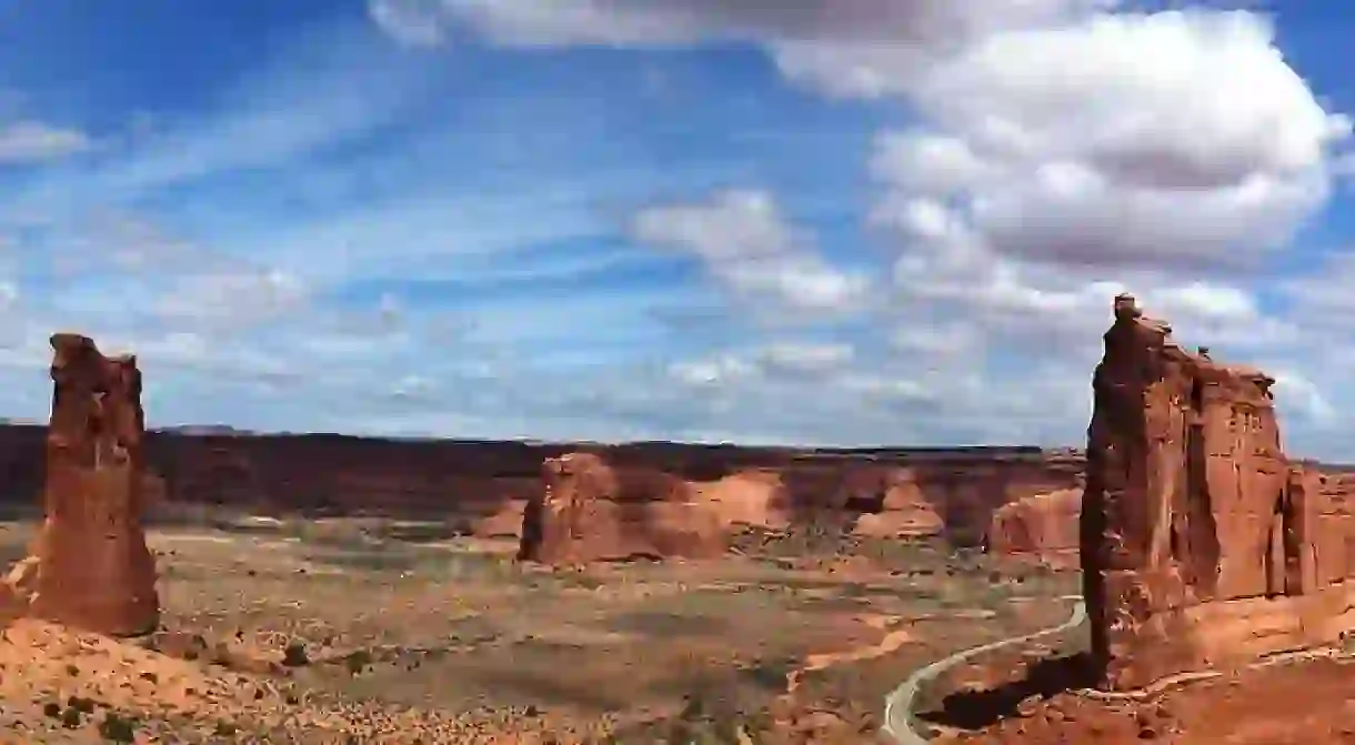
Hiking The Hayduke Trail In Utah

The Hayduke Trail, traversing through 800 miles of water-scarce landscapes and vastly rugged terrain, is one of the most challenging trails in the nation, developed to emphasize optimal views of the Redrock Wilderness over direct or simpler routes. The Hayduke, named after George Washington Hayduke – a fictitious character in Edward Abbey’s The Monkey Wrench Gang – pays homage to the author’s continuous defense of the promotion and protection of America’s threatened public lands. Traveling from northern Utah to the southern reaches of Arizona, this highly strenuous trail wanders through six national parks, including Arches National Park, Zion National Park, and the Grand Canyon, boasting striking scenic vistas of the Southwest. For more information on hiking the trail and what to see along the way, read our guide to The Best USA Hikes: the Hayduke Trail.
Important Info
The Hayduke Trail, located exclusively on public land, was created by two Utah locals – Mike Coronella and Joe Mitchell – by combining several treks, including their 94-day-long excursion in 1998 and 101-day journey in 2000. The route, because it travels along dangerous terrain, should only be thru-hiked by only the most seasoned of hikers (less than ten people have completed the trail from end-to-end); less experienced mountaineers can opt for various sections along the route that can be tackled in a weekend’s time. It is important to note that the trail is not signed, nor does it always follow a distinguished trail – most of it travels along rivers, ridgelines, drainages, and off-trail terrain, ranging in elevation from 1,800-11,419 feet. Be sure to carry a map, and familiarize yourself with the different sections before making the trek. Note: permits are required for the entire route; careful planning is recommended to ensure the right permits are acquired during your trek.

What To See
The trail heads through six national parks, the Colorado Plateau, numerous national forests, wilderness areas, and the Grand Staircase-Escalante National Monument, and is broken into 14 different sections. The first section of the trail, starting at Utah’s Arches National Park, travels for nearly 40 miles to Hurrah Pass – be sure to take in the scenery in Arches, fit with over 2,000 sandstone arches. From Hurrah Pass, the next section travels to Canyonlands National Park (47.1 miles); must-sees include the park and its dramatic desert landscape that has been carved by the Colorado River. The third section, traveling to Hite, Utah, is a much longer route (nearly 70 miles long), passing through many canyons, valleys, and across the Dark Canyon Plateau; don’t miss the Glen Canyon National Recreation Area, and over one million acres of glowing desert landscapes, or Lake Powell – a man-made reservoir on the Colorado River. The shortest route, section four, traverses from Hite to Poison Springs Canyon – hikers can revel in the beauty of Rock Canyon and the Red Benches during the trek.

Section five, continuing the ascent of the Henry Mountains, follows dirt roads and steep ridges to the summit of Mount Ellen (the highest point of the Hayduke) – here, catch breathtaking views of the Southwest. Once in Capitol Reef National Park, spend some time discovering the park’s striking rock formations – such as the Chimney Rock pillar, the Hickman Bridge arch, the monoliths in Cathedral Valley, the Waterpocket Fold, and the white sandstone domes of Capitol Reef (a 48.9-mile-long trail). Section six, a 72.5-mile stretch, takes hikers from Capitol Reef to Hole-in-the-rock Road in Utah. The views of Glen Canyon and the Grand Staircase-Escalante National Monument make this part of the route extra special; hikers can also check out the GS-ENM in section seven (80 miles long) and section eight (49 miles long). To experience the beauty of Bryce Canyon National Park, opt for section nine (66.3 miles long) – best seen during dusk or dawn when the crimson-colored, spire-shaped rock formations are aglow.

If you’re yearning to take a route that travels through the Grand Canyon, section ten (60 miles long) provides hikers with views of the North Rim, along with section 11 (47.1 miles), section 12 (34.9 miles), and section 13 (87.2 miles) – a route that takes travelers from the Grand Canyon to Hack Canyon in Arizona. The final section, route #14, traverses across nearly 70 miles of land into Zion National Park; to culminate your trek, be sure to check out the steep walls of Zion Canyon, the Weeping Wall and the Emerald Pools with waterfalls and a hanging garden.


