The Best Hiking Spots in the Canary Islands

Hiking in the Canaries certainly has plenty of ups and downs – literally. Thanks to the volcanic nature of the archipelago, there’s no shortage of mountainous terrain to enjoy, as well as settings from lush rainforests through to stark lunar landscape. Here’s our pick of the most-epic spots on the islands.
Garajonay National Park – La Gomera
Natural Feature

La Gomera, the second-smallest of the islands, is a subtropical paradise, where lush greenery abounds. The steep mountainous terrain has characteristic jagged edges that give this place an otherworldly feel, to the point you’d be forgiven for thinking you’ve landed on a Hollywood set. Two trails make this terrain easier to cross: the first takes you to the laurel tree forest in the centre and into the Garajonay National Park and to the 1,487-metre (4,879-feet) mountain with the same name, while the second takes you in a circle around it. Make sure your camera is fully charged, as you won’t want to run out of juice tramping through this super-photogenic landscape.
Roque Nublo – Gran Canaria
Natural Feature

Roque de los Muchachos – La Palma
Natural Feature, Park

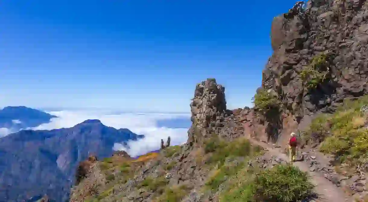
If you pay a visit to the highest peak of La Palma – climbing up to 2,426 metres (7,959 feet) – you’ll find the Roque de los Muchachos Observatory. One of many telescopes situated above the cloud layer, with wide clear skies in all directions, you can see why this summit was selected as an observational site. There’s also something eerily futuristic about the glittering white domes dotting the dark arid landscape. It’s about a 3.5-hour hike, and it’s not too strenuous, though the trail is also used as a running path for the ultra-fit.
Volcanoes of Timanfaya – Lanzarote
Park

Barranco de la Angustias – La Palma
Natural Feature

Nature is the earth’s greatest artist, and nowhere is this clearer than at the Cascada de Colores, a colourful waterfall made up of minerals, moss and algae of differing greens, oranges and yellows. This special site is accessed via the trails in Barranco de la Angustias – it’s quite a difficult 5-hour round trip, scrambling over rocks, perhaps with wet feet if it’s been raining, but you’ll pass other waterfalls on your way and be rewarded with the stunning Cascada at the end.
Masca village – Tenerife
Natural Feature, Architectural Landmark

Located on a rocky outcrop in the middle of a steep ravine are a handful of houses that make up the tiny and ancient Masca village. Before it was connected by a very windy road in 1993, inhabitants had to make do with a simple dirt track. Now, it is a popular spot for visitors who come and start the 3-hour walk from the village and head towards the little black-sand beach below for a well-earned swim.
Parque Natural de la Corona Forestral – Tenerife
Natural Feature, Park

To the south of Tenerife, you’ll find the Parque Natural de la Corona Forestal, the largest protected natural area in the Canary Islands. A wonderful area to walk around and steeped in history, it is also home to the captivating sight of the Lunar Landscape. The hillside of soft volcanic beige ash has been eroding over hundreds of years to form conical landscapes of otherworldly illusions. The walk here is over ancient trails – former trade routes between villages – and through pine forests, starting at Vilaflor, Tenerife’s highest village.


